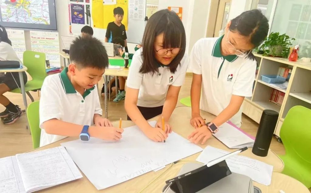
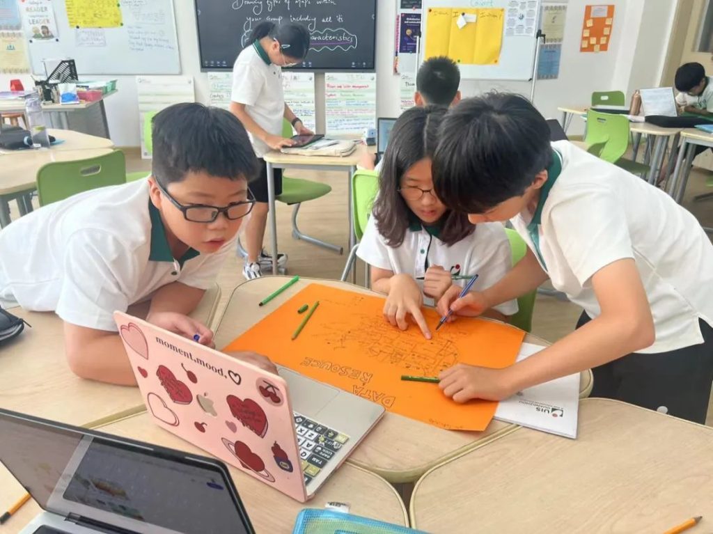
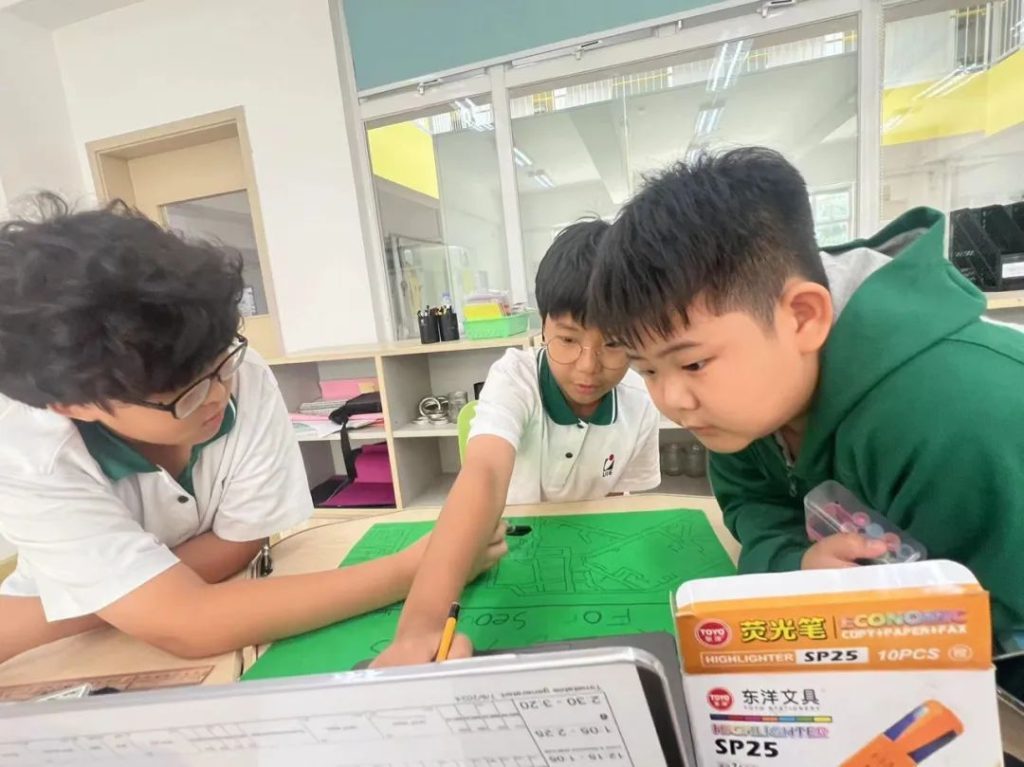
In our recent Year 6 Individuals and Societies project, students embarked on an exciting and engaging group work activity that revolved around the fascinating world of maps. The enthusiasm and curiosity displayed by the students were truly remarkable as they delved into various types of maps, each offering unique insights into our world.

The students were divided into small groups, allowing them to collaborate effectively and share their findings. They explored a diverse range of maps, including physical, topographical, political, road, and data and resource maps. Each type of map presented its own set of features and purposes, sparking meaningful discussions among the groups.

Throughout their group work, the level of engagement was exceptional. Students demonstrated teamwork, communication, and critical thinking skills as they presented their findings to the class. The atmosphere was filled with excitement, and it was clear that they were not only learning about maps but also about collaboration and the joy of discovery.

All in all, the Year 6 Individuals and Societies group work on maps was a resounding success. The students’ enthusiasm and collaborative spirit transformed the classroom into a dynamic learning environment. By investigating different types of maps, they gained valuable insights into the world around them and developed skills that will serve them well in their future studies. We look forward to more exciting projects that inspire our young learners to explore and understand the complexities of our world!

Kash Hardasani
MYP I&S English Language Acquisition Teacher


